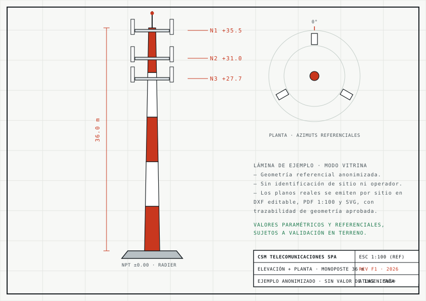
ATLAS turns the field survey into an auditable digital twin: real geometry, measured capacity and drawings that issue themselves.
Every site is surveyed in the field with the ATLAS app, under parameterised, standardised capture: one data structure, one recording logic, zero divergent criteria.
If a critical value is unavailable or cannot be verified, ATLAS declares it explicitly — it never assumes and never invents.
From that survey, the system builds a dedicated digital schema and data architecture for each site, processing its elements, relationships, geometries and evidence site by site, until a single, structured and traceable technical representation takes shape.
Each twin issues scaled drawings in three formats — editable DXF, 1:100 PDF and SVG — with geometry traceable field by field.